


Topographic Survey Plans
Professional Land Surveying for Seamless Design Integration and Smooth and Successful Permit Applications.

Request a Fast and Free Quote for a topographic Survey.
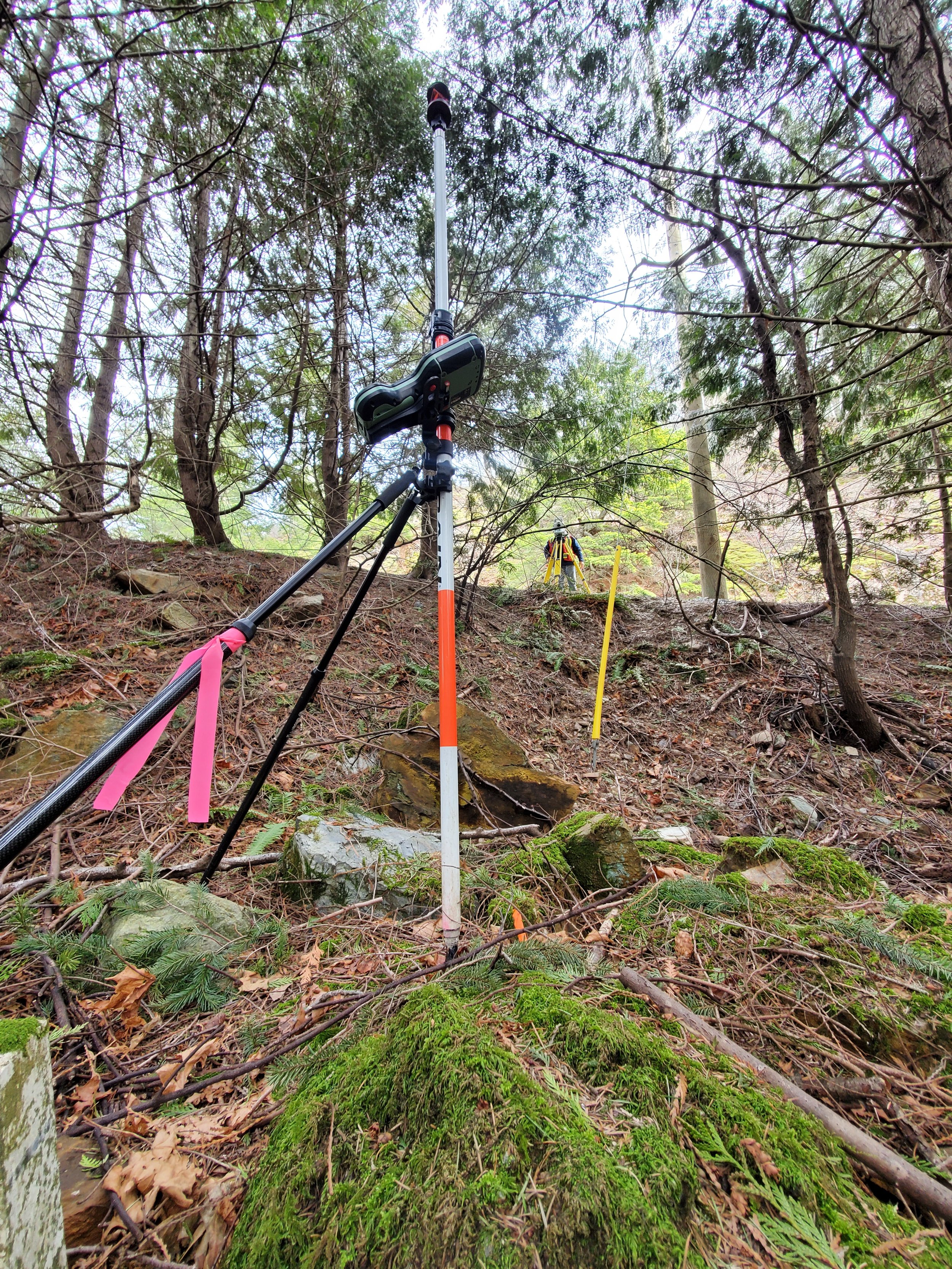
A topographic survey is a detailed mapping of the physical features of an area, These maps or plans show important information such as the elevation of the land, location of buildings, roads, sidewalks, driveways, retaining walls, and trees These surveys are used for a variety of purposes, including:
Architectural Design
Permit Applications
Civil Engineering Design
Subdivision Design
Volume Calculations
Identification of Encroachments
Terrain Modeling

A Topographic Survey often serves as the starting point for many types of development projects. This comprehensive survey forms the basis of plans used by a wide range of specialists like engineers, architects, planners, environmental consultants and other professionals. The team at Empire Land Surveying works closely with these consultants to ensure a smooth and fast process for our clients.